Dalton Highway Connects: Elliott Highway to Deadhorse/Prudhoe Bay, AK
Route#: Alaska Route 11
Length: 415 miles
Road Surface: 25% Paved, 75% Gravel
Season: Open all year
Highest Pass: Atigun Pass, elev. 4,800 feet
Map (1 detailed pdf file available):
Milepost F 73.1 Elliott Highway to Deadhorse, AK
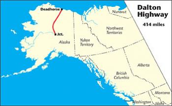
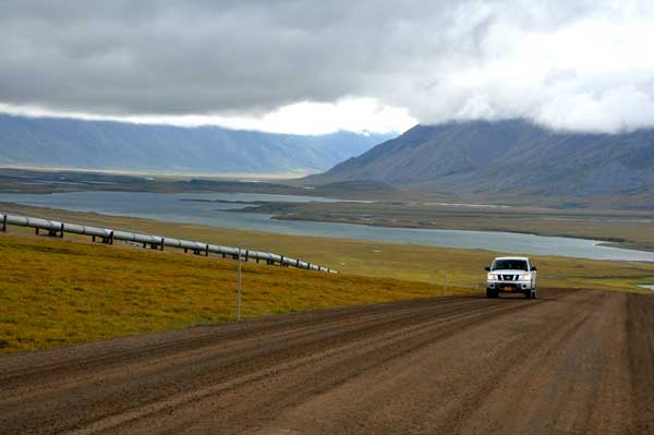
The 415-mile Dalton Highway (often still referred to as the “Haul Road”) begins at Milepost F 73.1 on the Elliott Highway, 84 miles from Fairbanks, and ends at Deadhorse/Prudhoe Bay, a few miles short of the Arctic Ocean.
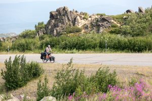
The road is narrow and used by trucks hauling supplies to Deadhorse/Prudhoe Bay. Road conditions vary depending on weather, maintenance and time of year. Most of the road is gravel and subject to potholes and washboard. There are several steep (10 to 12 percent) grades. Flat tires are a common occurrence. The Bureau of Land Management (BLM) recommends 2 full-sized spare tires mounted on rims.
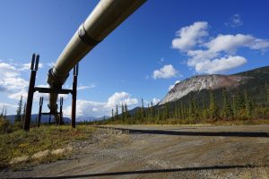
The highway is named for James William Dalton, an arctic engineer involved in early oil exploration efforts on the North Slope. It was built as a haul road between the Yukon River and Prudhoe Bay during construction of the trans-Alaska pipeline, and was originally called the North Slope Haul Road. Construction of the road began April 29, 1974, and was completed 5 months later. The road is 28 feet wide with 3 to 6 feet of gravel roadbed.
For those who don’t want to drive themselves, commercial tours are available from Dalton Highway Express and Northern Alaska Tour Company. For those who don’t want to drive their own vehicles, rental car agencies, such as Arctic Outfitters, and Alaska Auto Rental in Fairbanks, offer vehicles that are permitted on the Dalton Highway.
Communities
The MILEPOST® Quick Reference Log
Miles from junction with Elliott Highway (J) and miles from Deadhorse/Prudhoe Bay (D) are shown.
J 0 D 415 Junction with Elliott Highway.
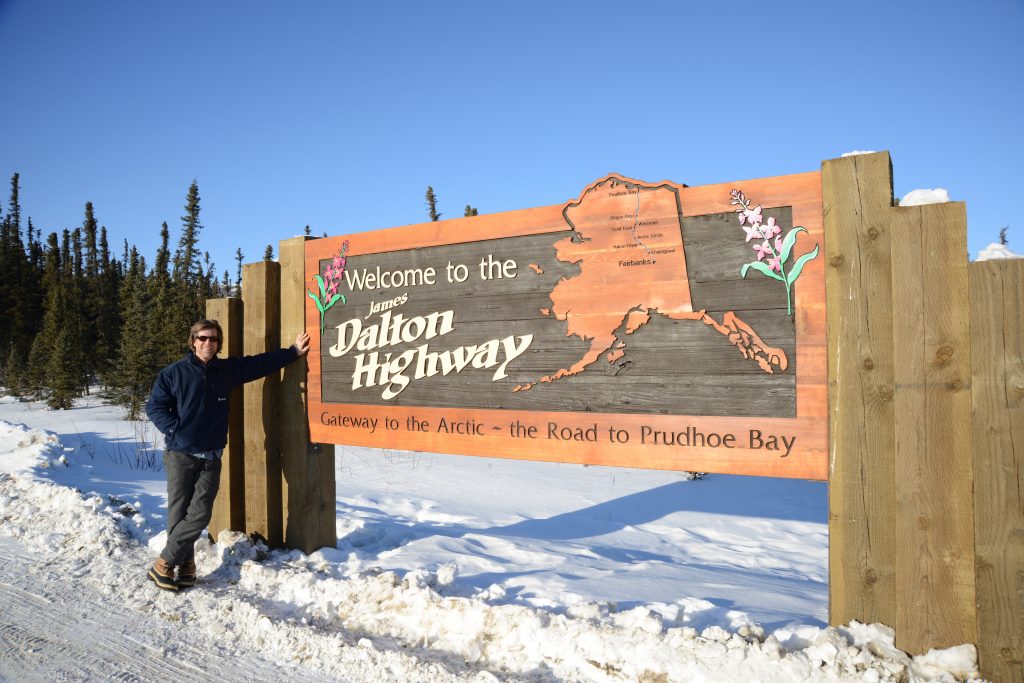
J 1.1 D 413.9 Big gravel turnout at Dalton Highway sign; good photo op.
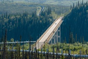
J 56 D 359 Yukon River Camp; food, gas, lodging. BLM Yukon Crossing Visitor Contact Station and Yukon River viewpoint.
J 98.1 D 316.9 Finger Mountain BLM Wayside. Rest area with 2 pit toilets, parking, and interpretive trail around interesting rock formations.
J 115.5 D 299.5 Arctic Circle BLM Wayside; camping, picnicking. The Arctic Circle sign, with a big blue earth and Latitude 66°33’ on it, is a popular photo op with travelers.
J 132.1 D 282.9 Gobblers Knob Wayside. Observation deck with interpretive panels about Haul Road construction (“the last 358 miles of road were completed in just 154 days”), includes an old photo of the first treacherous road built over Atigun Pass.
J 150.2 D 264.8 Grayling Lake Wayside; day-use only rest area.

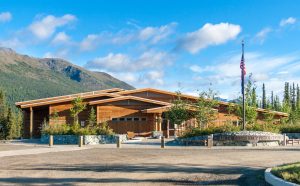
J 174.8 D 240.2 COLDFOOT (pop. 8); 24-hour gas/diesel, food and lodging at Coldfoot Camp. Arctic Interagency Visitor Center (pictured above) offers natural history displays and visitor information.
J 175 D 240 Coldfoot Airport; air service and flightseeing from Coldfoot Air Service.
J 179.7 D 235.3 Marion Creek BLM Campground.
J 188.5 D 226.5 Middle Fork Koyukuk River No. 1 crossing (narrow bridge).
J 188.6 D 226.4 Turnoff for WISEMAN (pop. 14), a historic mining town on the Koyukuk River established in 1905. Visitor services are limited. Accommodations at Boreal Lodging, Wiseman Gold Rush Camp B&B (phone 907-479-3213 in winter and 907-678-3213 in summer) and Arctic Getaway Cabin & Breakfast.
J 207 D 208 Dietrich River bridge. Halfway mark on the Dalton Highway (Deadhorse is 208 miles from here).
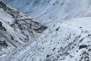
J 244.7 D 170.3 Atigun Pass, elev. 4,800 feet, in the Brooks Range, is the highest highway pass in Alaska and where the highway crosses the Continental Divide.
J 274.7 D 140.3 Galbraith Camp (no services), 4.3 miles west of highway; primitive public campground with outhouse.
J 354.6 D 60.4 Last Chance Wayside; day-use only rest area.
J 412.8 D 2.2 Deadhorse Camp; lodging, restaurant, gift shop. Arctic Ocean tours (24-hour advance reservation and ID required). Phone 907-474-3565.
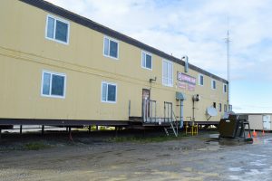
J 415 D 0 End of Dalton Highway at DEADHORSE/PRUDHOE BAY; hotels with cafeterias cater mainly to oil field workers, although rooms for visitors may be available. Deadhorse Camp at Milepost 412.8 caters to tourists and offers lodging, a restaurant and Arctic Ocean tours.


